Vienna Valley
Urban development plan
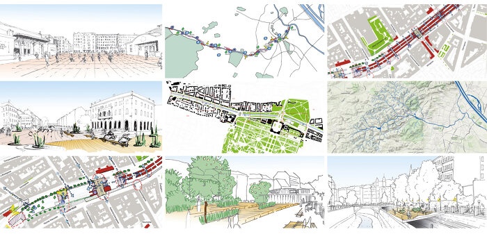
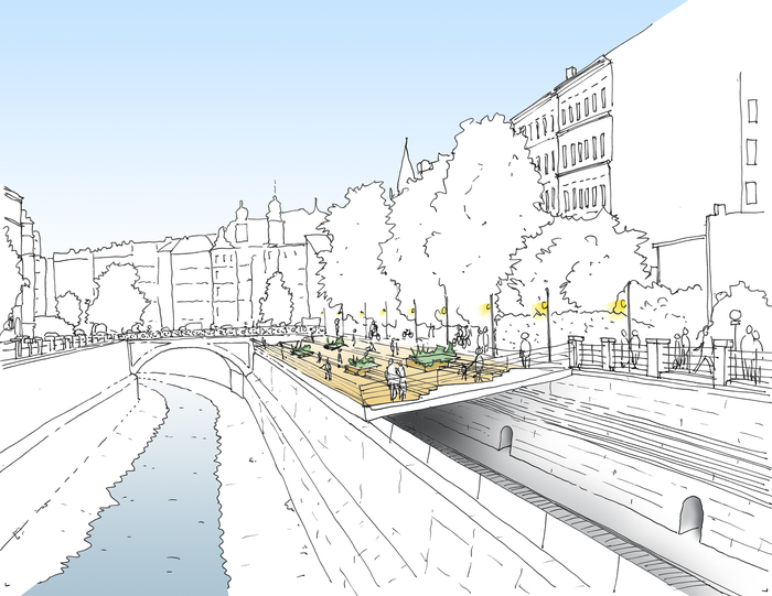
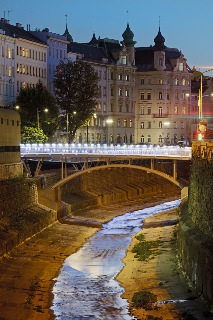
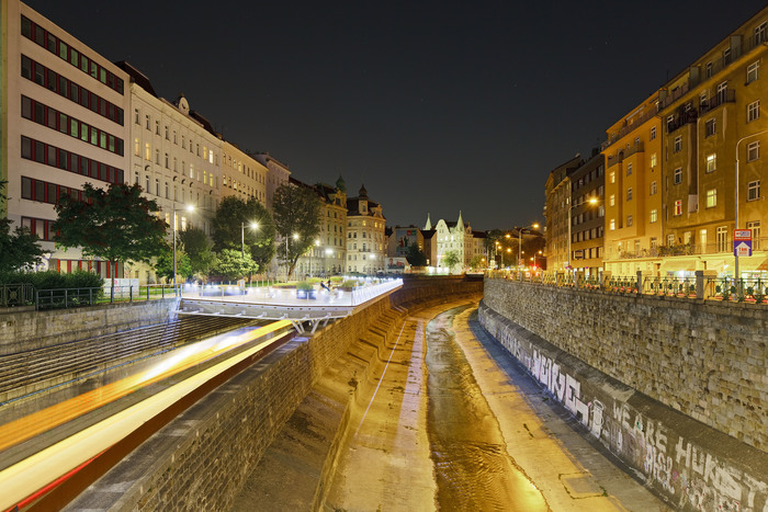
The new urban development plan for the Vienna Valley identifies potential for future development, establishes centers for urban regeneration, strengthens recreational attributes, and promotes social awareness and interaction with the Vienna River.
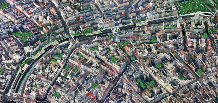
The Vienna Valley, extending 14 kilometers from the western city limit to the eastern Danube Canal, offers an interesting cross section of various Viennese urban landscapes. The primary element linking these different districts is the river which, accompanied by an important traffic infrastructure, unites the city on its east-west axis.
A comprehensive planning analysis defined urban typologies and similar sections of the Vienna River, selecting critical areas of intervention. Principal to the design is the general aesthetic improvement of the valley, making it more appealing for the use and recreation of the local residents, while enhancing the distinct urban identities of the different sections along the river.
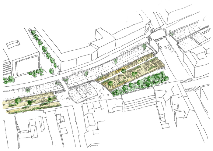
The project proposes the conversion of traffic areas into pedestrian zones, novel connections between the districts and the river embankments, and introduces green landscaping. The plan nonetheless maintains an astute deference to Otto Wagner’s historic original concept. Feasibility and phased implementation were emphasized for the gradual integration of the project into Vienna’s urban fabric.
- Address:
- Wien, Austria
- Architecture:
- Architekten Tillner & Willinger, Wien
- Cooperation Architecture:
- M.Osterhage, G.Koch, S. Weber
- Landscape Architecture:
- Auböck & Kárász, Wien
- Start of construction:
- 2009
- Plot Area:
- 1.400.000 m²
